 Here are the details of maps for Derby (North):

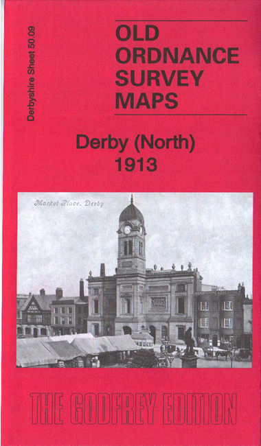
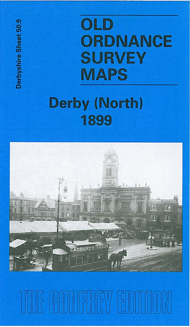
We have published two versions of this map, showing how the area changed acrpss the years. Each covers the northern part of Derby, with coverage stretching from Victoria Street northward to West Drive and Old Chester Road, and from Agard Street eastward to Chaddesden Hill.
Features include stretch of Midland Railway, North Junction, South Junction, goods depot, GNR Derbyshire Extension line, River Derwent, St Werburgh's church, Market Place and much of city centre, Exeter Bridge, Cattle Market, Peel Foundry, Derby Canal, County Cricket Ground, Race Course, Grand Stand Hotel, Chaddesden Works, Britannia Foundry, St Mary's Bridge, tramways, Friary, Strutts Park, Little Chester, Nottingham Road station, several works alongside river, County Hall etc.
The map links up with Derbyshire sheets 50.05 Darley Abbey to the north, 49.12 Derby NW to the west and 50.13 Derby South to the south.