Old Ordnance Survey Maps of Derbyshire

  • These detailed maps normally cover an area of about one and a half miles by one mile. Each map includes an introduction.
  • They are available through our On-line Mapshop

  • Here are the details of maps for New Mills (SE):

  • Derbyshire Sheet 8.03 New Mills (Low Leighton & Beard) 1899 - published 1996; intro by Derek Brumhead & Ron Weston. ISBN.978-1-84151-078-1

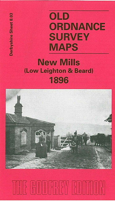
    This detailed map covers the area SE of New Mills, a largely rural area stretching from Low Leighton eastward to Piece Farm and southward to Shedyard Piece.

    Features on this rural map include a stretch of Midland Railway but no station, Low Leighton, Ballbeard, Beard Hall, Ollersetthall Farm, Pingot Colliery, Brownbrow Quarry, St George's church, Hollinhurst Head, Moor Lodge. Directories of Beard and Ollersett are included on the reverse.

    The map links up with Derbyshire sheets 5.15 Birch Vale to the north, 8.02 New Mills Newtown to the west and 8.07 Furness Vale to the south..


  • Follow this link for a list of our maps for Derbyshire.
  • You can order maps direct from our On-line Mapshop. For other information and prices, and other areas, go to The Index Page.
  • Maps in the Godfrey Edition are taken from the 25 inch to the mile map and reduced to about 15 inches to the mile. For a full list of maps for England, return to the England page.
    Alan Godfrey Maps, Prospect Business Park, Leadgate, Consett, Co Durham, DH8 7PW / sales@alangodfreymaps.co.uk / 25 November 2016